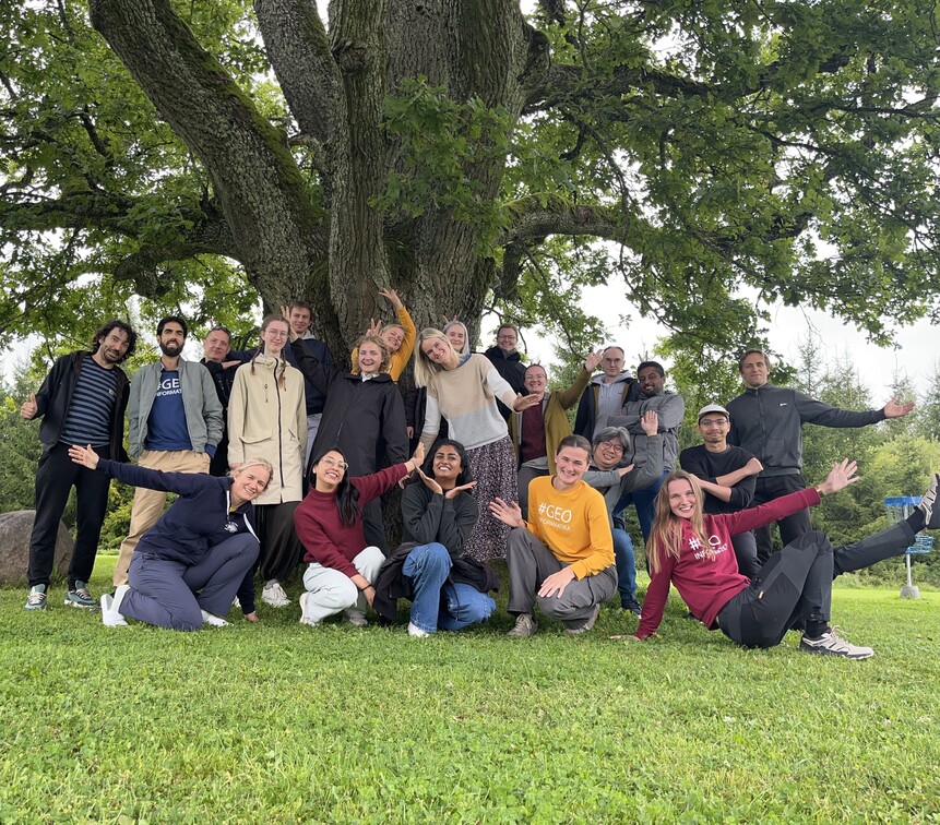
Meet the team
Our science-backed solution-oriented team has a scientific background ranging from landscape ecology and environmental protection, watershed modeling to land use/land cover and water quality, landscape changes, suitability analysis and general geospatial modelling with machine learning.
We value new ideas, open-minded thinking, supportive teamwork and want to improve and strengthen environmental geoinformatics capabilities in Estonia and Europe.
The team is led by Prof. Evelyn Uuemaa.
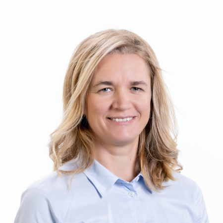

Evelyn is a geographer by heart and Professor in Geoinformatics. She holds a MSc in geoinformatics and PhD in landscape ecology and environmental protection, and is developing our Landscape Geoinformatics working group as a necessity to improve and strengthen environmental geoinformatics capabilities here at the University of Tartu and for Estonia in general through leading national and international research projects. Her research interests evolve around the interactions of land use/land cover and water quality, landscape changes and geospatial modelling with machine learning. She is also interested in geospatial visualisation.
Landscape Geoinformatics Lab
(+372) 737 5827
Department of Geography
University of Tartu
Vanemuise 46
51014 Tartu, Estonia
evelyn.uuemaa@ut.ee
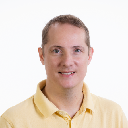
Alex is an Associate Professor in Geoinformatics and a Distributed Spatial Systems Researcher with many years of experience in geospatial data management and web- and cloud-based geoprocessing with a particular focus on land use, soils, hydrology, hydrogeology and water quality data. His interests include OGC standards and web-services for environmental and geo-scientific data sharing, modelling workflows and interactive geo-scientific visualisation.
Alex completed a Marie Skłodowska-Curie Individual Fellow (MSCA) with our Landscape Geoinformatics working group on improving standardised data preparation, parameterization and parallelisation for hydrological and water quality modelling across scales and has now started a 5-year project on spatial modelling of soil properties using machine-learning.
Merle is a Research Fellow in geoinformatics, with the main interest in landscape modelling. Her PhD and postdoctoral studies were on palaeogeography, coastal landscape, and sea level change. She focuses on terrain modelling, digital elevation data, raster and point cloud analyses.
Holger is a Research Fellow in Geoinformatics, who applies machine learning methods to large-scale geospatial modeling problems with a focus on hydrology. In his experience, the spatial representativeness of training data is the key to successful modeling, which is why he is also interested in improving the spatiotemporal coverage of big environmental datasets.
Kajetan is a Research Fellow in Geoinformatics, developing machine learning models to predict nutrient concentrations at multiple spatial scales. He completed a PhD in computational geophysics at Imperial College London, where he also worked as a postdoctoral researcher on source apportionment of chemical pollution in urban rivers. He holds degrees in physics and geology from the University of Warsaw.
Yonas Abebe has several years of experience in the field of Hydrology and Water Resources Management both teaching and research work. His unique attributes are mainly related to Hydro-climatic analysis, Hydrological Modelling, and Climate Impact Assessment. Currently, he is a postdoctoral researcher in our Lab working as Hydrological Modeller.
Merli is a graduate from the geography studies of University of Tartu (BSc & MSc). She is assisting the team with project management & PR tasks.
Siiri has long-term experience in document management and plays a central role in office administration. She holds a professional higher education degree in Tourism Management and vocational education in Secretarial Work. Her main responsibilities include supporting the team in project management and public relations. She supports the daily operations of the team and helps to ensure smooth workflows.
Marta is a PhD student at the Department of Geography. Her topic of study is modelling stream nutrient concentrations with spatial machine learning and exploring their relationships with various upstream environmental characteristics. She has a background in environmental science and hydrogeological time series modelling.
Pamela holds a BSc in Environmental Engineering, a MSc in Geography, specializing in Geoinformatics, and currently pursuing a PhD in Geoinformatics at the Department of Geography. Her ongoing research focuses on identifying feasible areas for wetland restoration using geospatial technologies and machine learning. She is deeply interested in applying geospatial tools to face environmental challenges.
Jeonghwan is a junior researcher in the Department of Geography and is pursuing a PhD in Geoinformatics. His research focuses on developing a framework for spatial predictive modeling of soil properties using machine learning techniques. He also has a strong interest in geospatial analysis and remote sensing.
Afif currently pursues a PhD with research focuses on detecting landscape elements in agricultural fields from remote sensing data using deep learning. He holds MSc in GIScience and Earth Observation specializing in ecosystems and natural resources.
Eveli is a Junior Research Fellow in Geoinformatics. Her research aims to explore the use of high-resolution remote sensing indices for estimating functional and structural biodiversity and develop a spatial machine learning model for nationwide biodiversity prediction.
Wai Tik holds an MSc in Computer Science with a major in machine learning. Currently, he is assisting the team in the software development aspect of Geoinformatics. The main focus is on web application development and integration of geoinformatics data under Discrete Global Grid System (DGGS).
Ilona is a junior researcher doing her PhD in Environmental Technology but it is jointly supervised by Environmental Technology Lab and Landscape Geoinformatics Lab. She holds MSc in Biology and Ecoinnovation, specialising in plant ecophysiology. Her current research is aiming to model methane flux heterogeneity in global wetland ecosystems using machine learning methods.
Arathi holds a MSc in Geoinformation Science and Earth Observation with a specialization in Land Use Systems. She is currently pursuing a PhD in Geoinformatics at the Department of Geography and Tartu Observatory. Her research focuses on machine learning-based biodiversity modelling using remote sensing data and spectral diversity indicators.
Liina is a junior research fellow in geoinformatics. Her work focuses on quantifying and visualising uncertainty in machine learning-based spatial modelling. She holds an MSc in Geoinformatics and Cartography from the University of Tartu and has previously specialised in hydrogeological geoinformatics. She’s especially interested in (geospatial) data visualisation.
Anton is an industrial PhD student in cooperation with KappaZeta Ltd, currently working on hemiboreal forest height and volume estimation from bistatic synthetic aperture radar data. Anton has a BSc degree in Computer Science and a MSc degree in Geoinformatics. He has industry experience working with remote sensing data as a software developer.
Ats is a graduate from the geography studies of University of Tartu (BSc & MSc). He mainly deals with the development of map applications to simplify the presentation of the results of various research projects.
Minna is a nature conservation specialist, whose primary areas of expertise in the team cover both environmentally friendly, especially water smart agriculture and research into habitat greenhouse gas cycling for nationwide modelling. She has an MSc in Biodiversity, Conservation and Management, which also included geoinformatics and remote sensing.
Madli is a data analyst with a MSc in geography with a specialization in landscape ecology and environmental protection. She has long experience in the field of nature conservation, including integrating spatial data into decision-making processes for biodiversity and ecosystem protection. She currently contributes to the team’s work on land use mapping and spatial data based decision support, and soil research.
Iris is our Master’s student in Geoinformatics, with a primary interest in remote sensing and machine learning. Besides her studies, she supports the team on topics related to DGGS.
Una is a geoinformatics specialist focusing on spatial data collection and processing for environmental modeling. She has a BSc in Environmental Engineering and recently completed a MSc in Environmental Governance and Adaptation to Climate Change. Una contributes to the team through fieldwork, data preparation, and quality assessment activities.
Our former team members
Raul is a Master’s graduate in Geoinformatics from the University of Tartu. He assisted the team with spatial data processing.
Guillame worked in the Landscape Geoinformatics Lab as a scientific programmer. He used his full-stack development skills in various projects in our team.
Desalew worked in our team as a Research Fellow in Applied Geoinformatics. His main research interest revolved around environmental modeling, with a particular emphasis on hydrology, soil, and land-use. He also had a keen interest in the field of remote sensing and geospatial visualization.
Desalew completed Mobititas pluss postdoctoral research grant with our Landscape Geoinformatics working group, where he worked on modeling the impacts of land-use and climate change on flow regime.
Isaac worked as a specialist in geoinformatics at the Department of Geography. His primary activities focused on applying remote sensing and machine learning to investigate land use and land cover dynamics and their influence on urban climates.
Oleksandr worked in our team 2021 to 2022 as a GIS specialist, full stack JavaScript developer, and an open data and open source software enthusiast. He has a PhD in Geography and his research interests include web-based GIS, paleogeography, and soils science. During his time in our team Oleksandr focused on web technologies and worked on the client-side implementations.
Bruno finished his PhD in our team in 2022. His thesis was focussing on the direct and indirect human-induced forest degradation across biomes. Particularly, reduction of canopy cover and the loss of carbon stocks. Currently he is working in a remote sensing company in Brazil.
Iuliia was working as a Researcher in Geoinformatics in our team from 2021 to 2022. She specialises in the environmental applications of remote sensing. Her main expertise is the remote sensing of hydrometeorological regime of peatlands in the context of climate change, as the groundwater level depth and temperature are the main factors controlling greenhouse emissions from peatlands. Currently, she is postoctoral researcher in Aalto University.
Oleksandr was Researcher in Geoinformatics in our team from 2021 to 2022. His main research interests include a spatially explicit assessment of landscape experience, cultural ecosystem services, and non-material nature’s contributions to people bridging remote sensing-based and social media data. He was involved in the project on the assessment of socioeconomic status of the urban areas using these complementary perspectives of Earth observations from space and ground. Oleksandr holds a PhD degree in Environmental Protection. Currently, he is postdoctoral researcher in Helsinki University.
Fatemeh was visiting researcher at our team from September 2019 to February 2020. Her research collaboration with Landscape Geoinformatics Group focused on quantifying spatiotemporal dynamics of C and N sinks and sources in Estonia using process-based modelling and trying to combine with remote sensing data.
Selim was visiting PhD student from September 2018 - February 2019 and his research focus was in landscape planning.
Hanna-Ingrid worked in our team while being a Master’s student in geoinformatics and currently supports the team across tasks and projects with geospatial data processing. She was also assisting lecturers in several courses.
Luise was doing an Erasmus internship in the team from September 2022 until July 2023. She studied Physical Geography in Leipzig, Germany, where she gained basic knowledge of geoinformatics and remote sensing. She supported the team in various projects and tasks related to land cover classifications, hydrological analyses, literature research and data research.


