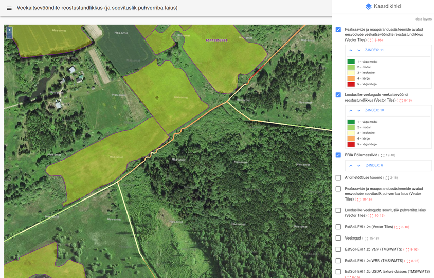
Creating spatial layers of pollution sensitivity for water protection zones and determining the need for establishing riparian buffer zones
The goals of the project were:
-
to develop a dataset of pollution sensitivity of water protection zones based on digital soil map, digital terrain model and canopy height model;
-
based on pollution sensitivity estimation to create a dataset with estimation of the need for riparian buffer zones;
-
to add numerical parameters needed for hydrological modelling to Estonian digital soil map.
The result of the project enables to more efficiently plan creating riparian buffer zones and to reduce the agricultural non-point source pollution. The resulting digital datasets enable to identify quickly the most problematic areas where riparian buffer zones are the most needed.
The main results of the project can be seen here (in Estonian): https://puhverribad.web.app/
Funded by Environmental Investment Centre (KIK), PI: Evelyn Uuemaa, 1.09.2019-15.02.2021
![]()


