Expertise
Our science-backed solution-oriented team has a scientific background ranging from landscape ecology and environmental protection, watershed modeling to land use/land cover and water quality, landscape changes, suitability analysis and general geospatial modelling with machine learning.
We have many years of experience in geospatial data management and web- and cloud-based databases and geoprocessing with a particular focus on land use, soils, hydrology, hydrogeology and water quality data. This includes OGC standards and web-services for business and scientific data sharing, modelling workflows and interactive visualisation.
Discrete Global Grid Systems (DGGS)
Discrete Global Grid Systems (DGGS) research A Discrete Global Grid System (DGGS) is a unique type of spatial reference…
Geospatial Web
Spatial Data Infrastructure (SDI), INSPIRE-compliant services, data and metadata management WMS, WFS, other OGC…
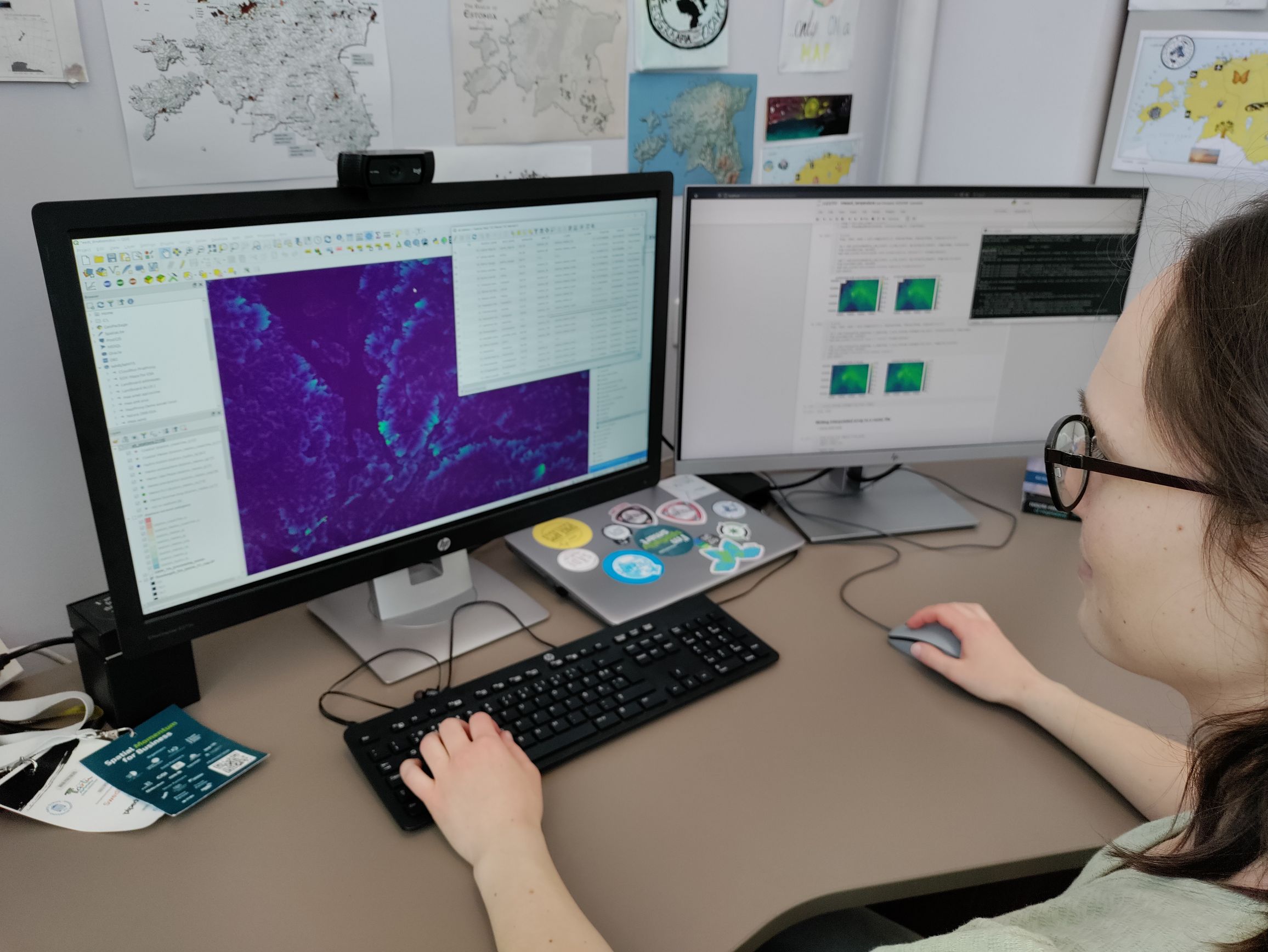
Spatial Data Analysis and Remote Sensing
Help leverage geospatial analysis to solve problems, improve productivity, and increase locational awareness Conduct…
GIS Workflows
QGIS plugins, GDAL and automated workflows (models) PostgreSQL/PostGIS spatial databases Ask us for trainings or joint…
Thematic Maps Geospatial Visualisation
We help to communicate spatial information by making beautiful maps. See our works in 30DayMapChallenge We develop…


