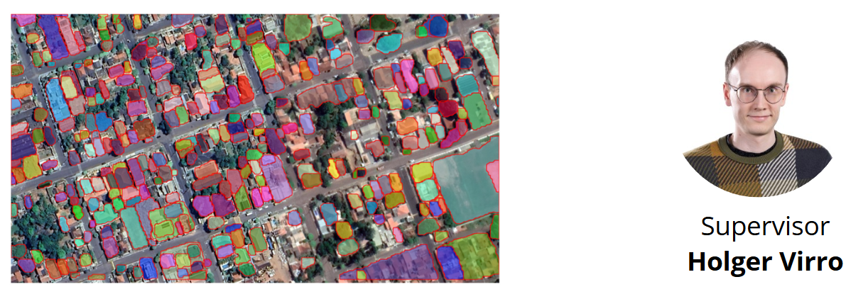
This thesis aims to evaluate the accuracy of the Python package segment-geospatial (samgeo) in the automatic segmentation of landscape elements from orthophotos. Meta AI developed the Segment Anything Model (SAM) for automatic image segmentation, and its extension, samgeo, enables the application of SAM to remote sensing data.
Likely, the model can effectively identify well-defined objects such as buildings and roads. However, it would be interesting to assess whether samgeo can also handle landscape elements like hedgerows and stone walls in agricultural fields.
This project is suitable for MSc students in geoinformatics and requires programming skills (LTOM.02.041 Geospatial Analysis with Python and R) and preferably experience with or at least interest in machine learning.


