Rescue network GIS application
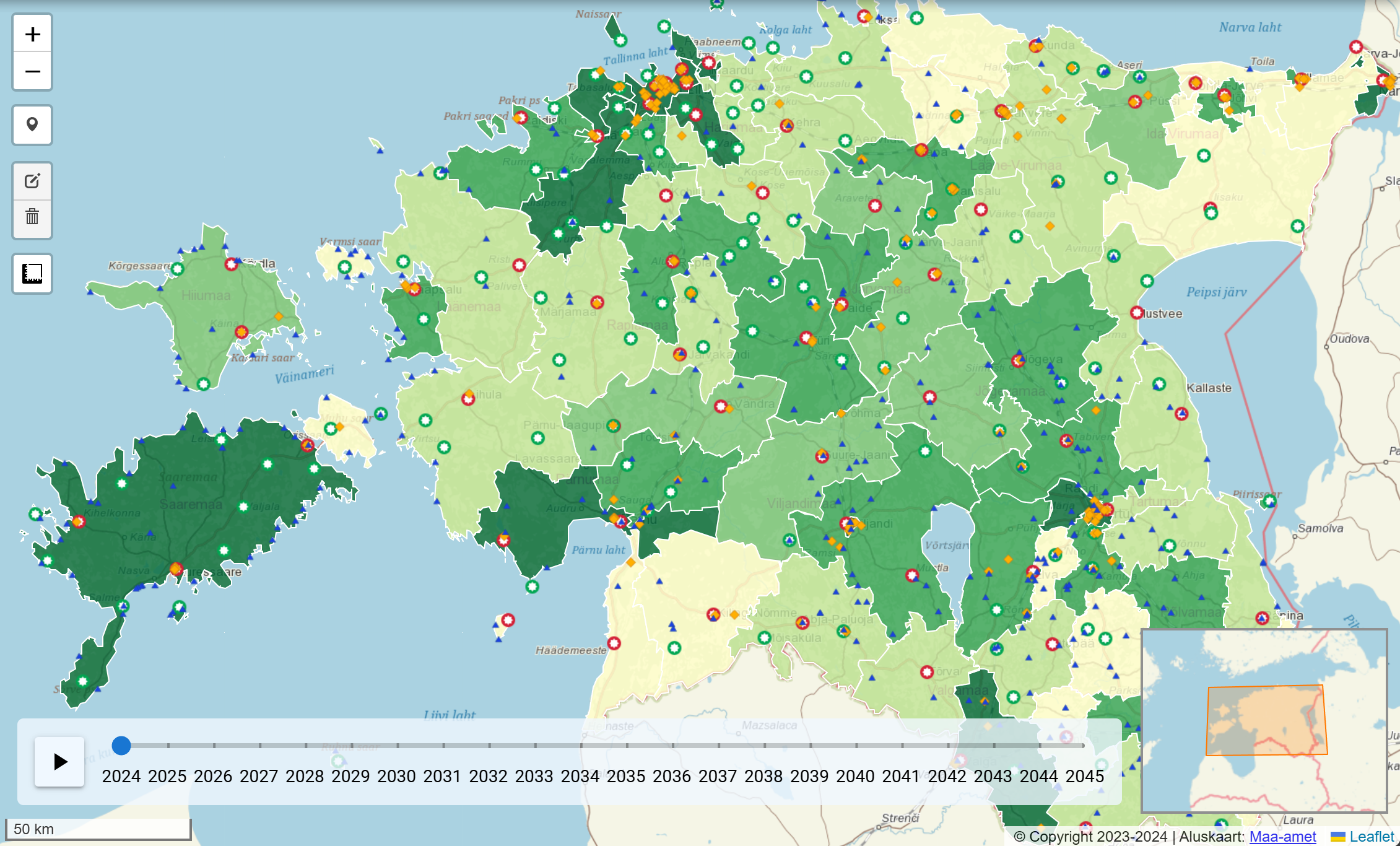
The general purpose of the project was to prepare a long-term strategic view for the Rescue Board for mapping the rescue network, which would also showcase the forecast of societal trends. In the past, the strategic view was largely based on past data. The previous approach was sought to be improved by assessing the number of inhabitants and its future forecast in different regions and the nature of the challenges.
To simplify the process, a web-based GIS application was created, which makes the spatial data available for planning and using the rescue network conveniently. While creating the web application, we worked closely with the Rescue Board so that the data layers and functionalities help to solve the initial task in the best way.


