-
Spatial Data Infrastructure (SDI), INSPIRE-compliant services, data and metadata management
-
WMS, WFS, other OGC standards
-
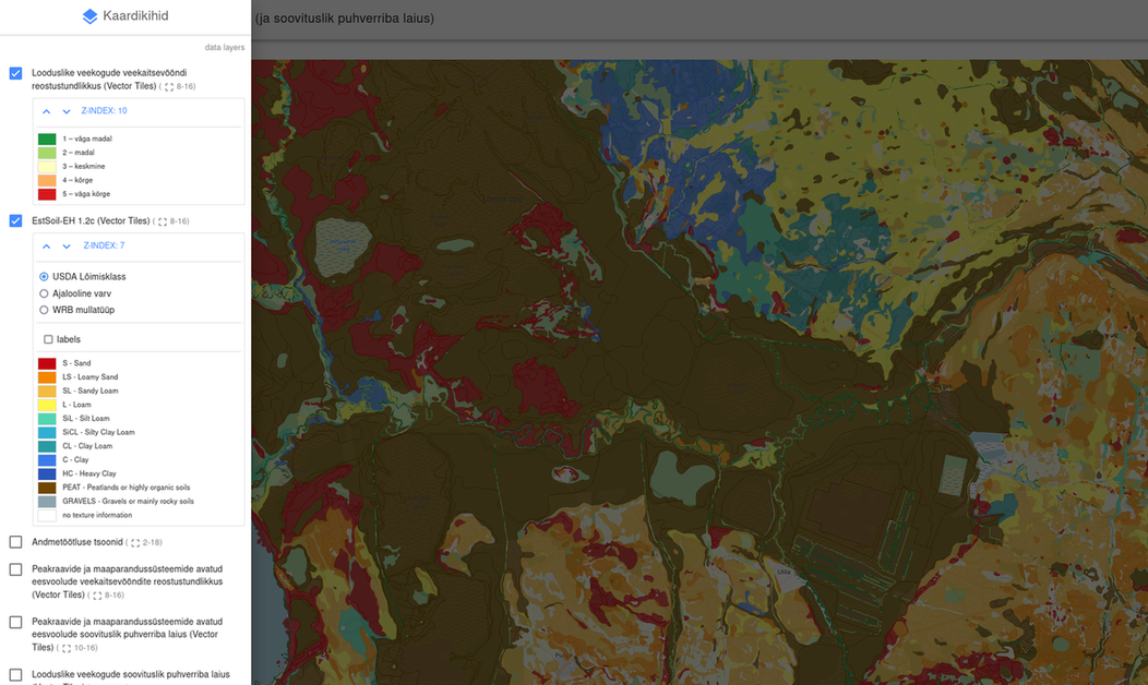
Web-based effective web mapping with REST/GeoJSON and VectorTiles
-
Custom, cost-effective WebGIS applications using PostgreSQL/PostGIS, Geoserver, Leaflet
-
Spatial Data Catalogues
(Source: Landscape Geoinformatics)


